Riverbed Monitoring
Riverbed Monitoring
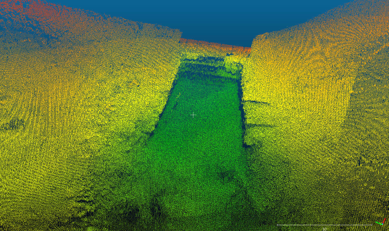
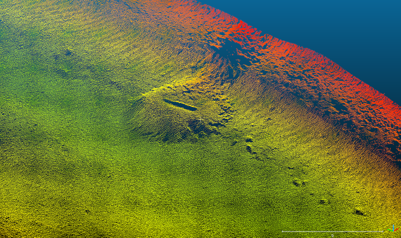
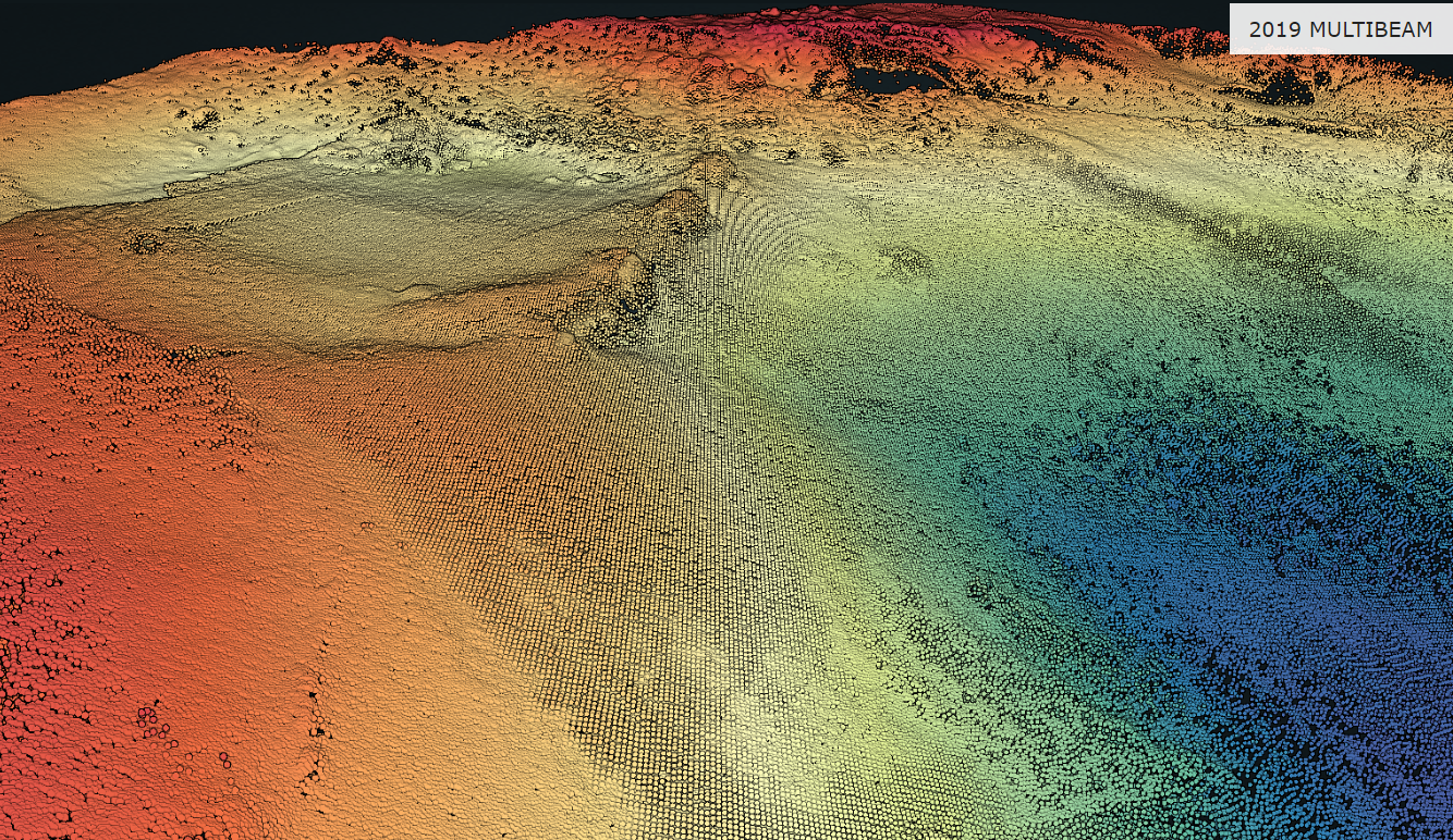
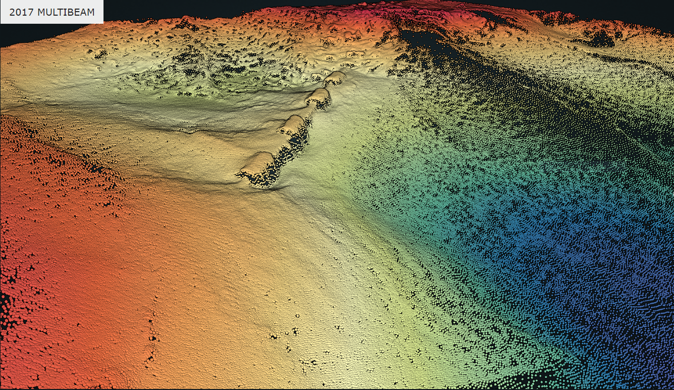
Rivers can drastically transform the riverbed and impact client assets. MSI was tasked with monitoring a riverbed in Northern British Columbia to aid in remediation. A multibeam echosounder was used to create the baseline and subsequent surveys. Precise pipe locating was used to determine if the flow was affecting the alignment during each change of flow.
2017 vs. 2019
Deliverables
An interactive 3D model of the riverbed was given to the client with the ability to toggle between layers. Custom image sliders were created for areas of high importance. This allows the client to perform a quick desktop evaluation of the asset and easily share with other stakeholders.


